Serving Earth
What do satellites do for people on the ground?
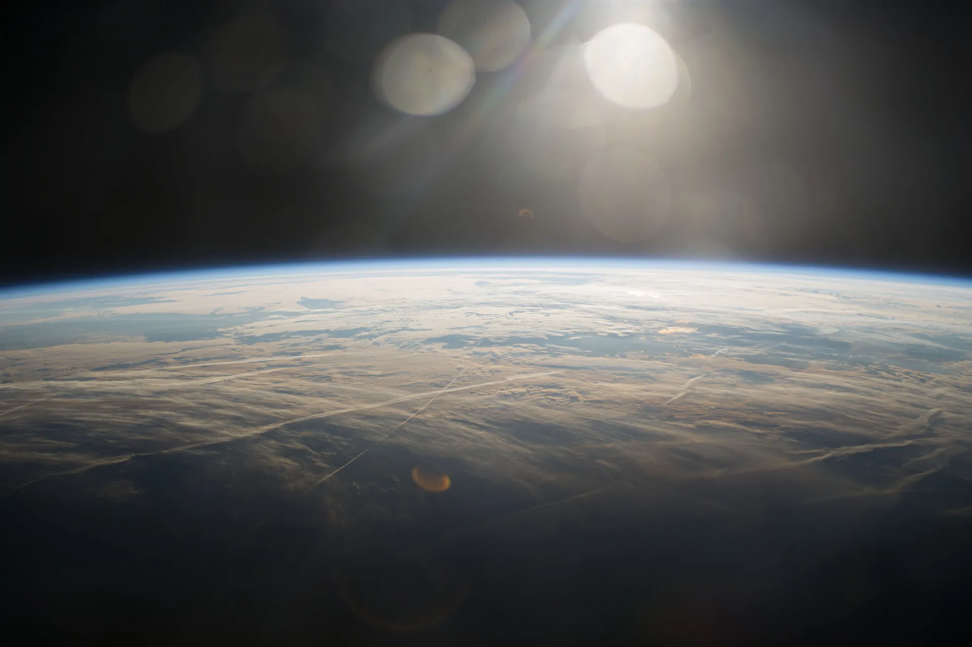
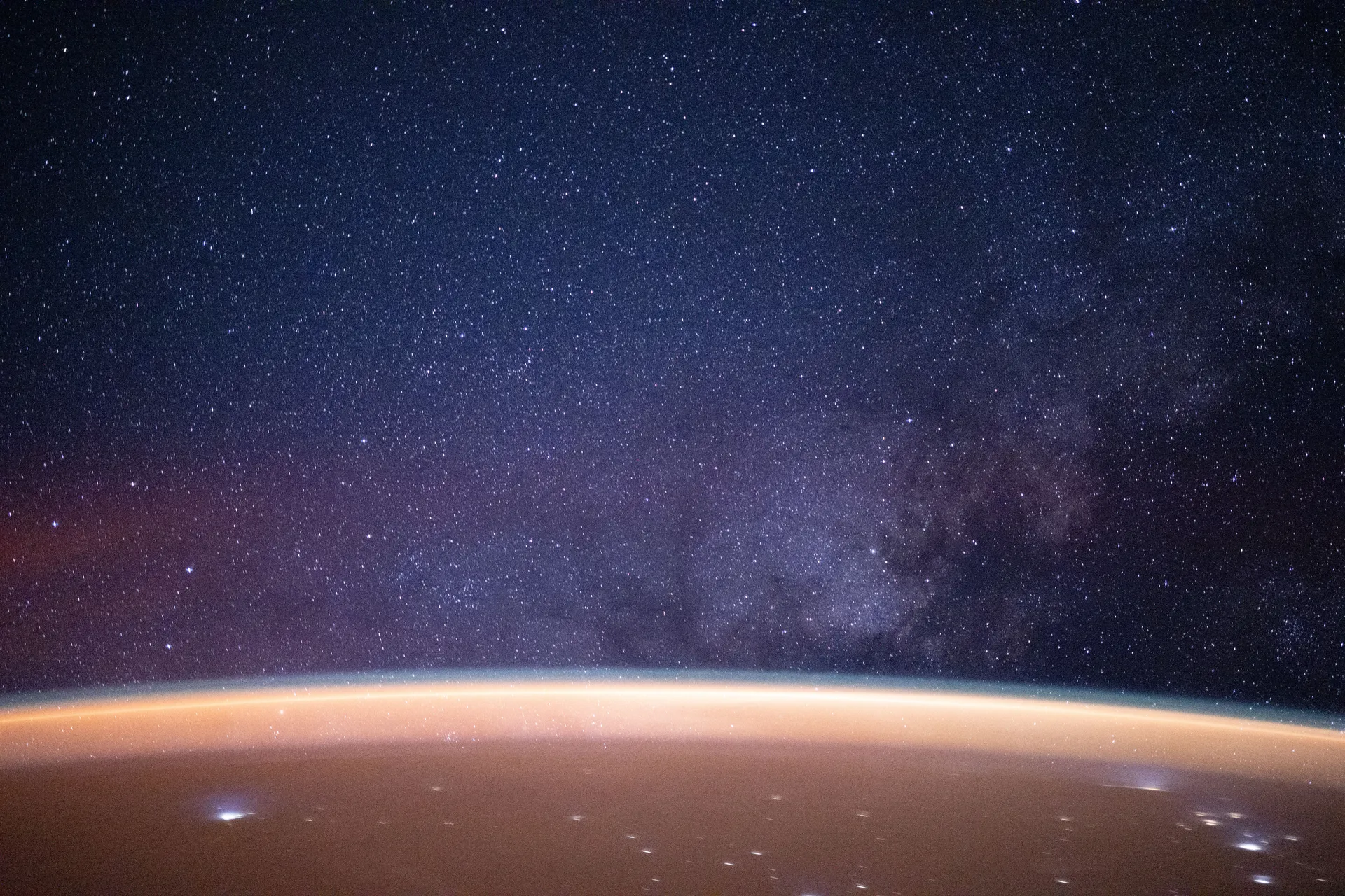
NASA, Expedition 40, 2014
Most of the space program that touches daily life never leaves Earth orbit. GPS timing signals tell phones where they are; weather satellites feed every forecast; Landsat has photographed every place on the planet, again and again, since 1972.
These systems belong to different agencies — the Space Force, NOAA, the U.S. Geological Survey and NASA — and they sit at very different heights above Earth, for reasons the first story in this chapter explains.
Begin with Orbits- 1
Why the station, Landsat, GPS, GOES and Webb fly where they doHeight sets a satellite’s speed; tilt and shape set what it sees. Five neighborhoods, from the station about 400 km up to Webb 1.5 million km away, and the work each one makes possible.
- 2
How GPS turns atomic time into position, and who keeps it runningA receiver finds itself by timing signals from four satellites. The Space Force runs the system, finished GPS III in April 2026, and canceled the ground system that was meant to replace the old one.
- 3
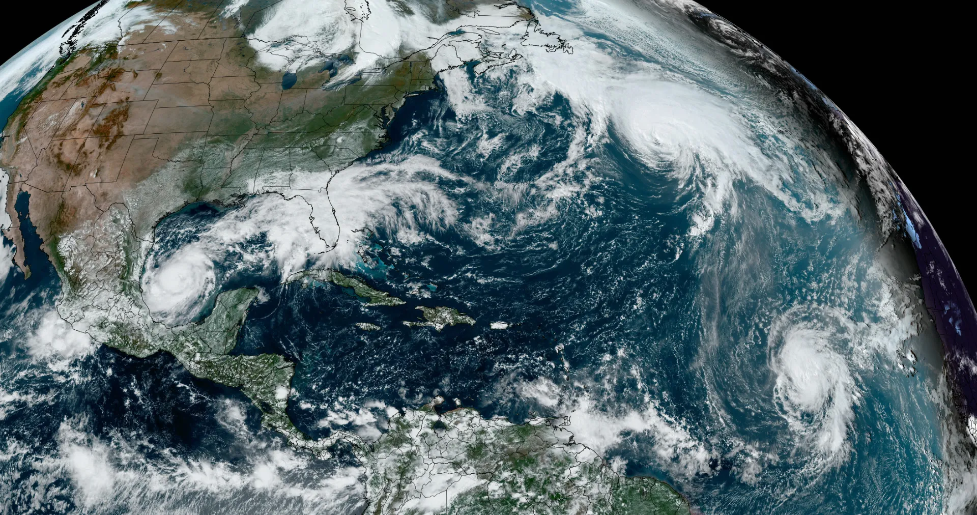
NOAA’s weather satellites: how they watch storms, and what replaces themTwo GOES satellites stare at the Americas from 22,236 miles up while polar orbiters circle the globe. NASA builds them, NOAA flies them, and Congress is deciding how much of the next generation to pay for.
- 4
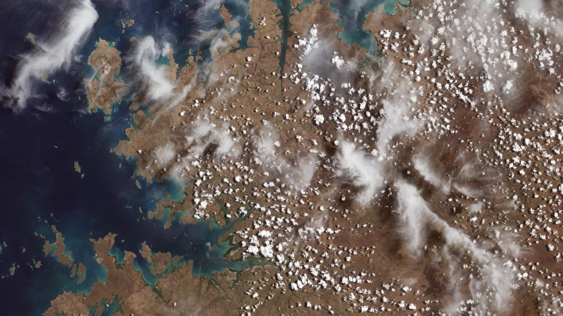
Landsat: 54 years of watching the land, and what comes after Landsat 9Since 1972 Landsat satellites have recorded Earth’s land, and since 2008 anyone can download the record free. NASA builds them and the USGS runs them; the next one has been redesigned, and its budget is in dispute.