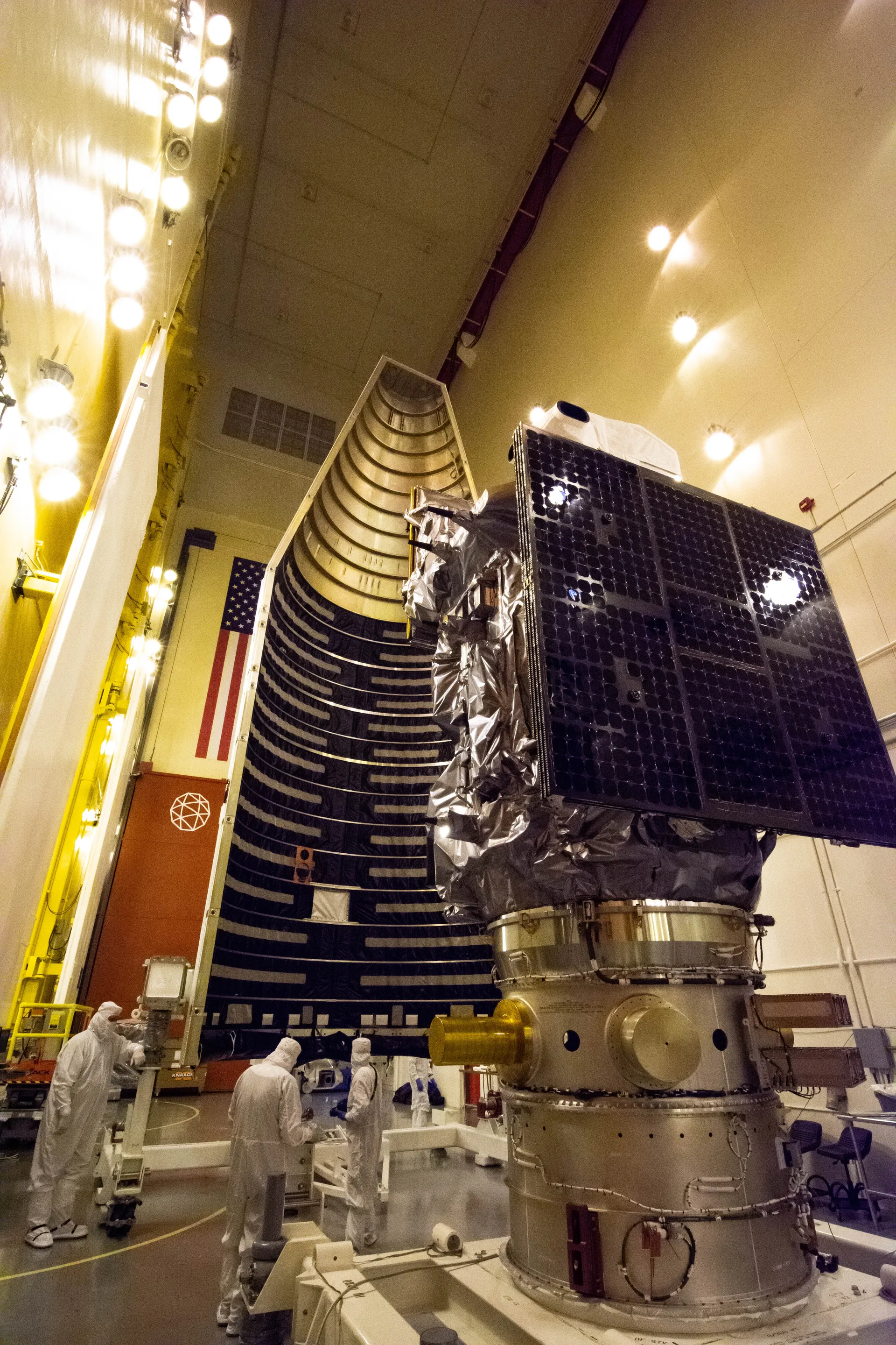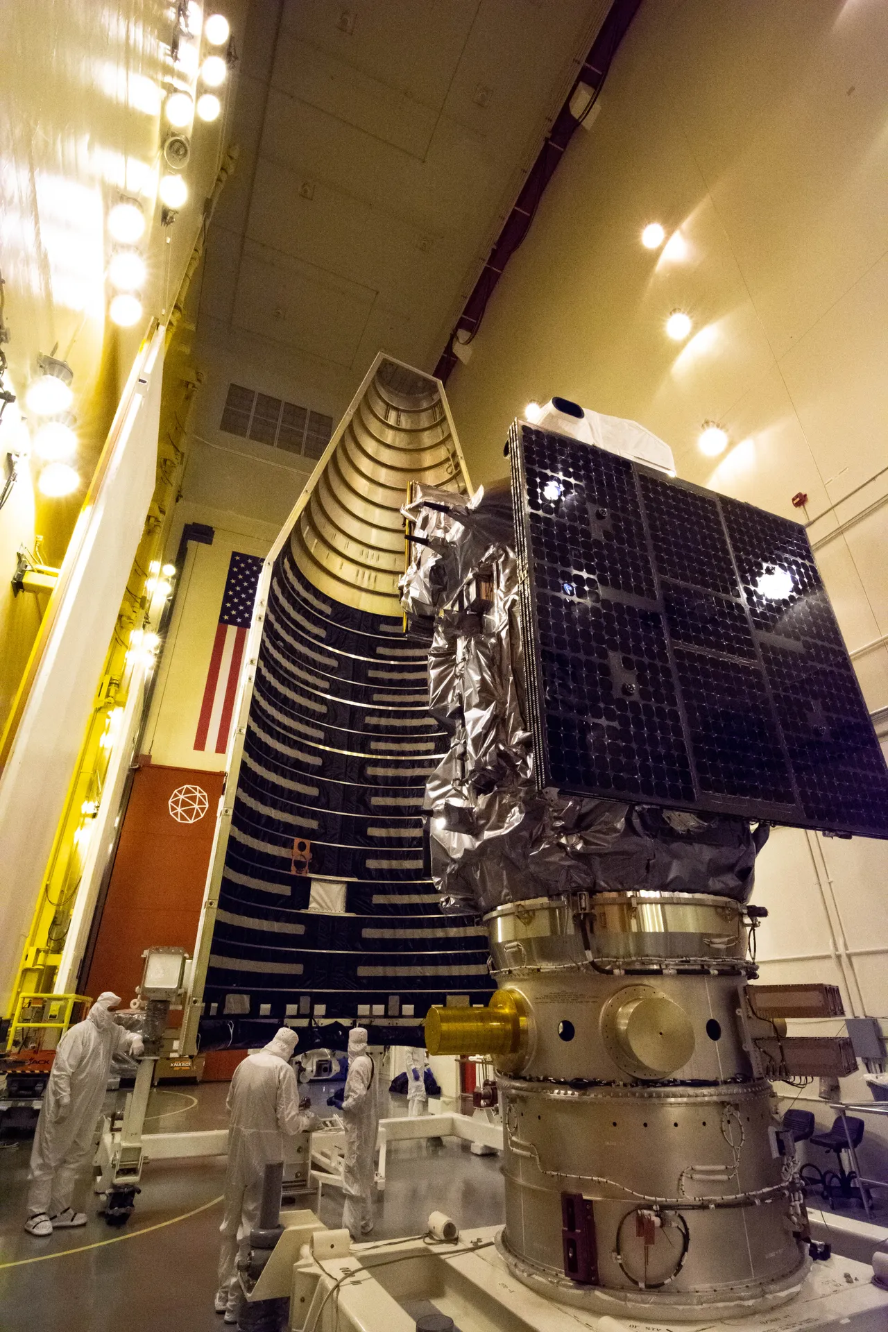
Landsat
The longest continuous record of Earth’s land surface from space, begun in 1972.
- Type
- Satellite
- Status
- Operating
- First flight
- July 23, 1972
- Size
- 4.3 m (14 ft)
- 50+ years
- continuous record of Earth’s land surface, since July 1972
- 8
- satellites successfully launched
- $25.6B
- estimated value of Landsat data to the U.S. economy in 2023
- 2031
- latest launch date for Landsat 10
The Landsat program is a series of Earth-observing satellite missions jointly managed by NASA and the U.S. Geological Survey. Since Landsat 1 launched as the Earth Resources Technology Satellite on July 23, 1972, Landsat satellites have continuously acquired images of Earth’s land surface—the longest continuous space-based record of it. The data are distributed from the USGS Earth Resources Observation and Science (EROS) Center in Sioux Falls, South Dakota.
Eight Landsat satellites have reached orbit. Landsat 8, launched in 2013, and Landsat 9, launched on September 27, 2021, work together and observe the same place on Earth every eight days. Access to Landsat data became free and open in 2008; NASA and USGS estimate the data contributed $25.6 billion to the U.S. economy in 2023.
The next mission, Landsat 10, is to launch no later than 2031. NASA released the request for proposals for its spacecraft in July 2026.